Save Our Macleay River Inc (SOMR) is presenting the
Community Information Forum – Rights of the River for the Macleay
8 November 2025, 2pm to 5.30pm, Oddfellows Hall, 22 Kemp Street
West Kempsey.
The event will explore how the Macleay River can become legally protected from the cumulative impacts of human activities harmful to its health.
- SOMR will give an update on current issues of concern affecting the Macleay catchment,
- Dr Michelle Maloney will present background information about the Rights of the River, and
- the film I am the river and the river is me will be shown.
For the past 12 years, SOMR has worked hard to monitor and raise concerns about pollution of the waterways in the catchment while at the same time drawing attention to its beauty. The group has raised concerns about the potential contamination from the Hillgrove Mine, the ongoing pollution from legacy mines, the impact of the planned Hydro Electricity Scheme in the valley, gravel extraction in the riverbed, increased water use in the upper river catchment, and much more. Current decisions and plans will be outlined at the Information Forum.
SOMR President Paul Smith said, “Last year, group members became aware of the concept of ongoing legal protection of rivers throughout the world and began the conversation about how to achieve it for the Macleay River.”
Dr Michelle Maloney, an Earth Lawyer, was invited to give a talk to a group of interested people in Kempsey where she explained the concept of nature as an interconnected ecosystem, the key inspiration for Australian Earth Laws Alliance, the organisation she represents. She is now returning to address the community.
Dr Maloney is an advocate for Earth centred law and nature-based governance; she is recognised internationally and in Australia for her work. Michelle is also Co-Founder and Director of Future Dreaming, an Indigenous led organisation. There she states, “Nature is not the property of humans. We have to recognise we are in an interdependent relationship with the rest of the living world.” https://www.earthlaws.org.au/
While successful international examples are still few and far between, the Whanganui River in New Zealand was the first river given full legal personhood and protection in 2017. The film I am the river and the river is medocuments how a canoe trip down the Whanganui River in New Zealand, led by a Māori elder, becomes a call to action to draw closer to nature and fight climate change through a fundamental value shift. As the filmmakers affirm, “We recognise our dependency on healthy water, of a healthy relationship with water – of guardianship versus ownership, and ultimately of ourselves being water in all that is life.” The film’s title is taken from a Whanganui Māori proverb, recognizing the river as their ancestor and as a living spiritual being. https://iamtheriver.org/
In Australia, local groups are working to get legal protection for the Birrarung (Yarra) and Martuwarra (Fitzroy) Rivers. First Nations involvement has been vital in the successful protections to date as well as the current initiatives.
The aim of the Community Information Forum – Rights of the River for the Macleay is to begin a long-term initiative to ensure the health of the Macleay River is protected.
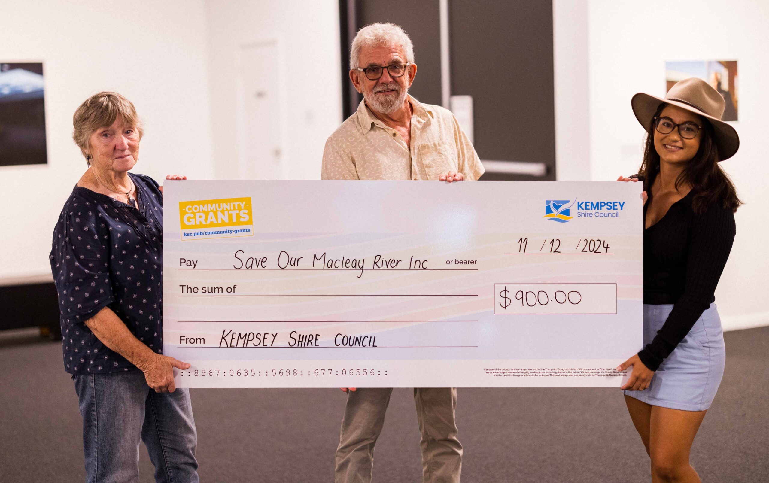
The event is also a fundraiser for Save Our Macleay River Inc. with an admission fee of $10 and the draw of a raffle. The Bellbrook Hotel, the Pantry at Netherby House and the Garden Restaurant at Frederickton have provided generous raffle prizes.